DEFENSIBLE FUEL PROFILE ZONES (SHADED FUEL BREAKS)
Herger-Feinstein Quincy Library Group
Forest Recovery Act
Pilot Project
By Frank Stewart, Counties QLG Forester
Editing and web layout by Michael De Lasaux
Photo #1? |
Within
the eight county area encompassed by the QLG Pilot
Project there have been 24 wildfires since the Act was
signed into law. The fires have burned some 270,000
acres. The fires have resulted in several lost lives,
loss of hundreds (how many?) of homes, considerable
critical wildlife habitat degraded and watershed damage. Forty-five percent of the acres burned were private property with the remaining 55 percent being national forests that are a part of the QLG Pilot Project area. Several fuel reduction and fire protection Defensible Fuel Profile Zone (DFPZ) projects have been constructed within the Pilot Project area. The intent of this page is to illustrate how the DFPZs were utilized by the fire fighting agencies in their suppression efforts. It is also intended to show the reduction in fire intensity and damage severity that results when stand-destroying high intensity fires encounter DFPZs. |
Contents
Defensible Fuel Profile Zones (DFPZs) are strategically located linear fuel reduction and fire protection areas that ... |
aerial photo of fuel break with treated area on right and untreated on left. |
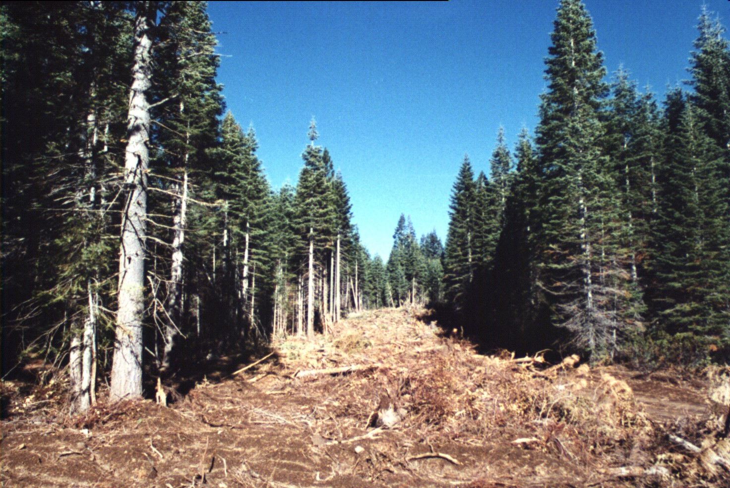
DFPZ on the right side of the road shows safe access opportunities for fire suppression crews. |
Schematic diagram here. |
Schematic diagram that illustrates the design of a DFPZ. Note that fewer snags and down large woody debris are retained within the Primary Zone for the safety of fire fighters and the public. |